


News about maps
Digital cartography and GPS navigation
Mapstor news
This Day in History
Travelling with mapstor.com
Digital cartography and GPS navigation
115 years of flight
Next-generation of GPS satellites are headed to space
DJI Phantom 4 RTK - cartography of a new generation
Earthquake prediction systems
OneSoil map
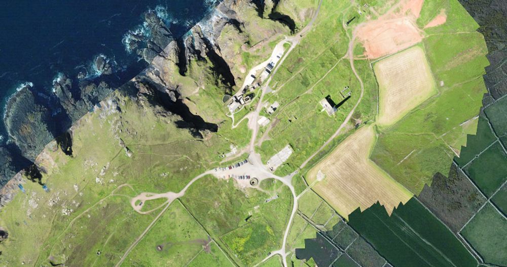
Applied drone cartography
Rapid development of drones contributed to modern cartography as it appears to be a great tool to create very detailed maps of smaller areas of land, from a few tens or hundreds of square kilometers to individual households. This is many times cheaper than the use of airplanes or satellites, and achieves a very high degree of detail. The use of drones for aerial cartography is the basis for many businesses around the world today. For example, when the US military needed to map minefields in one of the valleys in Afghanistan, Thomas Tudor being aerial photography specialist helped them with this.
Thanks to this story, Thomas came up with an idea for the business - mapping using drones. Customers could rent or buy a drone to carry out with the help of it photography. Though I must admit that at that time the idea could not be called innovation, all over the world many entrepreneurs have earned in this way.
However, Thomas and his colleagues decided to go ahead and set up the software that "glues" the images taken from different points in the overall map. Built around a cloud computing system adjusts the photos so that they seemed made from the same angle, this process is called orthotransformation.
Thomas called his project Maps Made Easy and successfully collected the necessary funds on Kickstarter. Many people are attracted to this project by the opportunity to cheaply get a very detailed photomap of your site, because in the same Google Maps data are often updated every few years, and the maximum resolution is very small by today's standards. With the help of drones one can create a map with details about 20 times higher than that of Google Earth. Moreover, now the Thomas company offers not just photomaps, but also creates three-dimensional models of them.
Moore's Law against aerial photography
Geologist Larry Hulbert using Maps Made Easy made a map of the territory where he conducted research for the purpose to find nickel, copper and platinum. The photos were taken from a helicopter, and to make them into a single image Hulbert used a software tool for the MME. The result is a narrow map 7 on 0.3 km (2.1 sq. km.), the price of which is $44. However, here you need to include the rent of the helicopter with the pilot - $1800 per hour. As a result, on the money you used to rent helicopter you could buy your own excellent drone.
Drone humanism
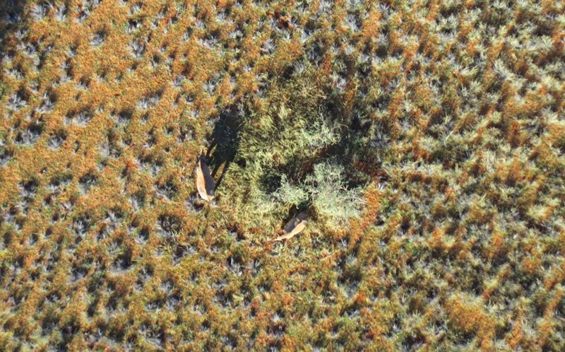
Another example of visual benefits of using drones is the story of Patrick Meier, Director of Social Innovation at the Qatar Computing Research Institute. By order of Meyer in Kuzikus national park in Namibia was conducted 90 flights to find black rhinos that are on the brink of extinction and to count their number. At first glance, the drones appeared to be a very useful tool because with their help, one can quickly scan large areas and inform the rangers where to look for rhinos. However, the researcher was faced with another problem - how to process more than 25,000 images in search of rhinos?
To solve this problem, Meyer has attracted volunteers who by viewing photos and frames found the traces of animals. About 500 people from around the world participated in this crowdsourcing project, and for two days 98% of the shots were processed. Meyer also is negotiating with the University of Lausanne, Switzerland, on the use of artificial intelligence algorithms to automate photo processing. In particular, to assess the damage caused to coconut plantations after the storm in the Philippines.
Experts around te world are welcome to use drones for specific tasks of search and evaluation, as taken with them photos have higher resolution, less expensive, and can be obtained much faster and easier.
Conclusion
There are alot of examples of the use of drones for such "point" cartography. They can be used to evaluate the situation in some of the disputed territory. Or make the actual map of a difficult terrain, assess the impact of natural disasters, to get an accurate picture of the state of the acquired land, delimit the river spill, etc. Considering the active development and cheapening of technical basis of drones - we can assume that in the next few years on the market will appear mapping software adapted for use with drones.
Digital cartography and GPS navigation 01-02-2017