


News about maps
Digital cartography and GPS navigation
Mapstor news
This Day in History
Travelling with mapstor.com
Digital cartography and GPS navigation
115 years of flight
Next-generation of GPS satellites are headed to space
DJI Phantom 4 RTK - cartography of a new generation
Earthquake prediction systems
OneSoil map
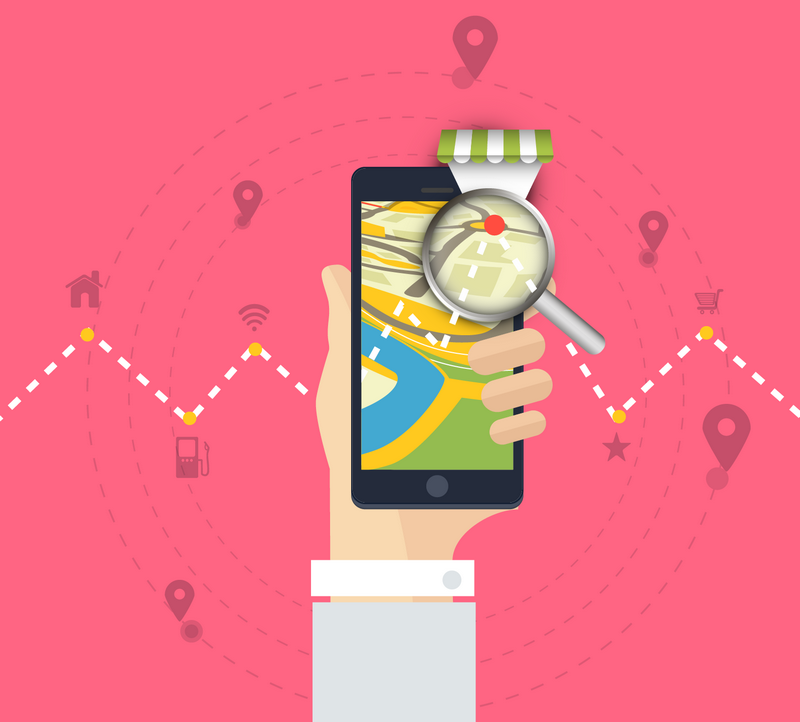
How digital maps change our perception of the world
Once the maps were paper, big and uncomfortable. It was necessary to spend some time to find the place where you are now, and figure out how to get to some other place. We estimated the distance, chose the routes. We felt like a tiny bit of the world, even within this sheet. And today digital maps in each smartphone put us in the center of the world, instantly lay the route and display it in every detail on the screen. And the way we use maps today has gradually changed our deep perception of the world.
Our perception of cities is changing. Our representation and orientation in the streets, boulevards, roads, parks, hills, etc. transforms. And this is not because the landscape or buildings are changing, but because of the small devices in our pockets. Numerous mapping applications blur the boundary between the digital and the real world, and we start to perceive the environment as part or the continuation of technology.
Modern gadgets provide a lot of opportunities and functions. And it's all in your hand. In part, this can be considered techno-revolution, because we no longer need to make special efforts to find the right information. Life has become much easier, it is enough to type a couple of search queries in the smartphone. And when we are in an unfamiliar place, we no longer need to question others and "wrinkle convolutions", trying to tie ourselves to the terrain on a paper map.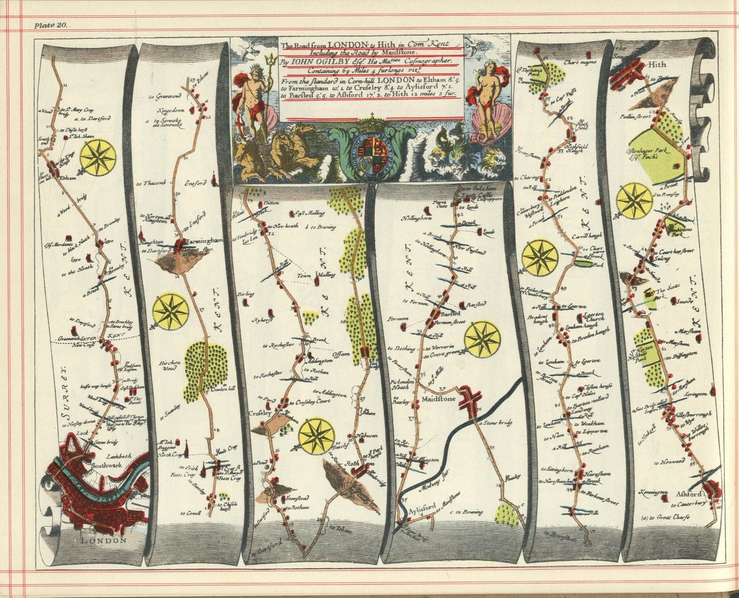
Although even your own paper map in the pocket is a relatively recent "invention." For millennia, until the end of the 19th century, most people happily lived their lives in their native villages and cities, not particularly interested in what is outside their small familiar territories. But over time, maps became cheaper to manufacture, and eventually turned into a mass product. Also, this was partly affected by the complication and acceleration of life: the number of the urban population grew, the cities themselves became bigger and more difficult to plan, the development of transport people began to travel more often and so the need for maps of all kinds of cities and localities also grew. So appeared a class of pocket maps, the format of which allowed to put them in the pocket of a man's cloak.
Digital technologies, our habits in the use of maps began to change dramatically. There was a myriad of geolocation services, with which we find food and entertainment, in which we publish photographs, videos, etc. Maps are involved in an increasing number of aspects of our lives. Today we are already generating maps for our own needs. That is, maps are transformed from a public instrument into a personal one. More precisely, personalized.
The phrase "you are here" was no longer needed. After all, when you open the application, it immediately focuses on you, on your coordinates. That is, your marker is a priori the center of the world.
And this is one of the most important moments that influences our perception of the city. Not only cafes, banks and shops revolve around your marker, but all your experience, photos and messages in social networks are memories pinned to the digital map where they originated.
The simplification of the algorithm for using digital maps has caused a somewhat paradoxical trend: maps become more primitive. Moreover, the current version of Google Maps is less detailed than it was 6 years ago. The map has become more schematic, the emphasis is on mapping streets and roads, rather than on a harmonious ratio of different objects. After all, this is not so necessary, the main thing is to see how quickly to get to the traffic jams.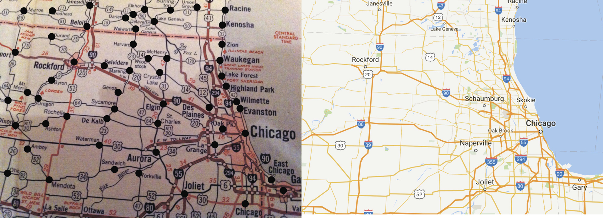
On the left is a paper map of the 1960s, on the right - Google Maps about the same scale.
And the situation with simplification is not saved even by the efforts of enthusiasts who are ready to draw even benches on the map in the very popular OpenStreetMap service.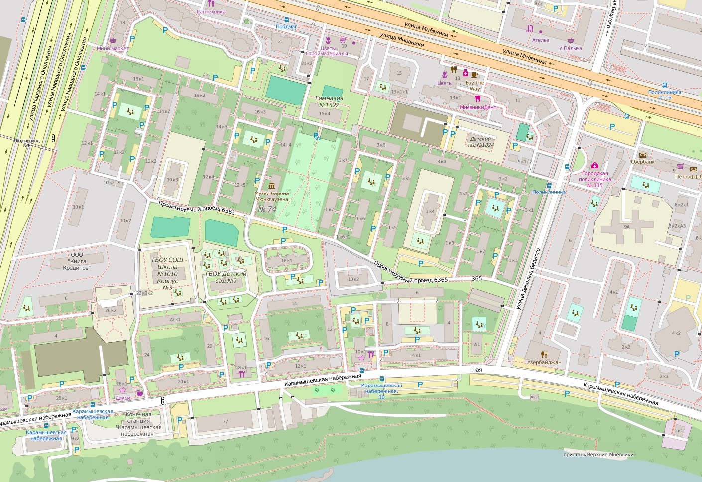
For digital maps, one more tendency is characteristic, which leaves an imprint on our perception of the world. Simplicity of drawing on a map of every possible "points of interest" - cafes, banks, cinemas, restaurants, refuellings and many other objects - turned modern maps into directories. Yes, it is convenient, but ask yourself the question: how long have you traveled around the city in search of interesting places? If only you are not a fan of walking, it's probably a long time ago. Yes, and why do so, because now it is enough to enter a key query in the search box of the map or turn on the filter to display the desired objects. Found the nearest one, laid the route, and "along the corridor" went to the destination. Without looking around, without exploring new places and areas for yourself. In many ways, we begin to perceive the world - and even the city - not as something integral, with all its features, merits and demerits, but as a certain set of the places we need. After researching unfamiliar streets, we are creating a living image of a part of the city in our head, and not just moving in accordance with the directions on the screen, really memorizing only scraps. Did you remember the road well if you only went on it by navigator?
By the way, did you notice how boring most digital maps look? Especially in comparison with the maps of the 19th century, and even the maps of the first third of the 20th century? Most cartographic services, especially vector services, look like faceless schemes with interspersed, pastel tones and low contrast lines. After all, nothing should distract the user, he needs to get from point A to point B, so that his eyes do not ripple. Earlier it was interesting to just look at the maps, they aroused interest: "And what does this city look like, this country, this mountain?" And today it is a refined, convenient, effective and incredibly boring tool that is unlikely to cause a desire to go on a new route, just for the sake of curiosity.
In the end, the maps themselves are lifeless. As Charles Baudelaire put it, the meaning of cities is not in their structure, but in the people inhabiting them. In 1863 he wrote: "One who moves with love for the life of the world penetrates into the crowd, like a gigantic electric battery." And although we like to save photos and records on map points, real memories are difficult to pin to some coordinates. People and the memory of them are not so easy to be mapped as streets and roads.
Digital cartography and GPS navigation 11-04-2017