News about maps
Digital cartography and GPS navigation
Mapstor news
This Day in History
Travelling with mapstor.com
Digital cartography and GPS navigation
115 years of flight
Next-generation of GPS satellites are headed to space
DJI Phantom 4 RTK - cartography of a new generation
Earthquake prediction systems
OneSoil map
The future: neural network - cartographers
Photo-sharing service with geometrics - Mapillary - last year added a feature that provides a semantic segmentation of objects images. In fact, they were able to divide the images into separate groups of pixels corresponding to one object with simultaneous definition of the type of object in each area. People do this very easily - for example, most of us can identify and find cars, pedestrians, homes on images. However it was not as easy for computers to navigate in a such huge array of data.
Using deep training on a convolutional neural network, Mapillary was able to automatically identify 12 categories of objects that are most often found on the road. Their method makes it possible to achieve progress on other problems of machine vision. Ignoring the coincidence between moving objects (for example, clouds and vehicles), it is possible to significantly improve the process of converting the original data into a two-dimensional or stereoscopic picture. The semantic segmentation of Mapillary provides an approximate estimate of the density of vegetation or the presence of sidewalks in some areas of cities.

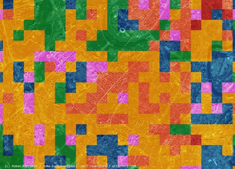
South-West Moscow neural network divided into zones depending on the type of development
In the CityClass project, an analysis of types of urban development is carried out using a neural network. To make a map of the functional zoning of the city is long and monotonous, but it is possible to train a computer to distinguish an industrial zone from residential, and historical buildings from a microdistrict.
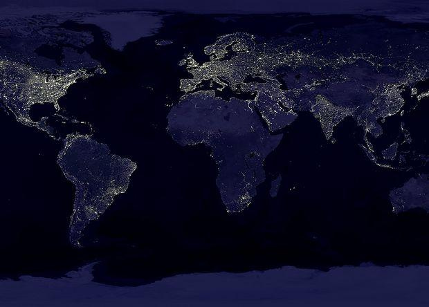
A group of scientists from Stanford trained the neural network to predict the level of poverty in Africa by day and night satellite imagery. First, the grid finds the roofs of houses and roads, and then compares it with the data on the illumination of the areas at night.
The community continues to follow the first steps in the field of automatic creation of maps, and already uses machine vision to draw some objects. It is difficult to doubt that the future will belong to maps created not only by people, but also by machines.
Digital cartography and GPS navigation 29-11-2017


