Articles about maps
History of cartography
All about topographic maps
Topographic maps and traveling
Two centuries of Russian Cartography
Navigation software and offline maps
History of cartography
Cartographic maps of ancient East
Cartographic maps of ancient Rome
Cartographic pictures of primitive people
Cartography and geography in ancient Greece and Hellenistic countries
Cartography and geography in Armenia and in countries of Arab Caliphate
Cartography in slave-holding China
First Maps
Literature and Astronomy
Pythagoras and first hypothesis about Earth’s size
Strabo and cartography
The development of Russian Topography
The origins of astronomy
The origins of cartography
Why we so many ancient maps diasappear?
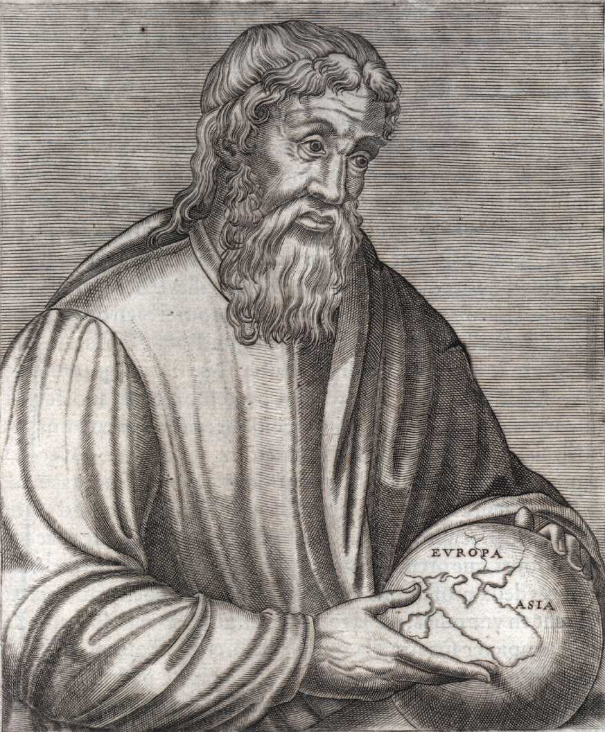
Strabo and cartography
When discussing various elements that form the cartography,Strabo, similar to some of the later scholars, could not determine exactly what kind of information should include the "geography of science." Yet he stubbornly stated "special section of geography", which deals with broader concepts - such as the nature of the universe, the movement of celestial bodies, including Earth; the general nature of the Earth, its shape and size, its habited parts opposed to uninhabited. Anyone who tries to understand and describe these things, says Strabo, "must look at the vault of heaven"; it should pay particular attention to astronomy and geometry. In general, Strabo thought that such a study of the universe properly represents the union of meteorology, astronomy and geometry, "because it brings together terrestrial and celestial phenomena as closely interrelated and inseparable," as the skies high above the ground. " He emphasizes this even more when he says: "No one person - whether he is an ordinary man or a scholar - not possible to master the necessary knowledge of the geography without determining the celestial bodies and the observation of eclipses ... " If you have to deal with countries situated far from each other, says Strabo , these phenomena are very important. The development of cartographic science never overtook the development of astronomy, and it became possible to chart the modern map of the world because of the high accuracy reached by astronomers.
Strabo found that mankind for thousands of years studied the firmament, but generally not to learn something new about the world. For people the sky was always a calendar, showing when to seed and when to sow, when to hunt and when to fish, when to pray and when to sleep. To be precise, even in 4241 BC people knew that the duration of the calendar year is 365 days, and this fact is used when recording important events. This time interval, the full cycle, defined by two successive observations of Sirius - "pesey stars" - just before sunrise, when Sirius hardly appears on the horizon. Not in one place, this phenomenon repeats more frequently than once a year. And it is likely that a systematic study of the sky in the theological view began in the early period of the Babylonian and Assyrian civilizations - namely, nomadic, or euphrates period, about 3,000 years before Christ.


